Cintlanapan (RGTyM17)
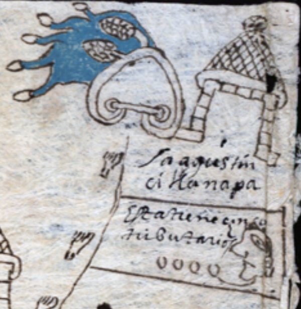
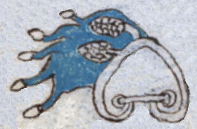
This is a painting of the compound hieroglyph for the place name Citlanapan (perhaps "Cornfield River"), a translation by Barbara E. Mundy, in The Mapping of New Spain (1996, 147). Two corn cobs (cintli) appear on the top of a hill or mountain (tepetl, a visual but silent locative). They lean to the left, seemingly swept by a flow of blue water (atl, or apantli). The water is wide, but it has five short splashes coming off of it, each one with a small turbinate shell at the tip.
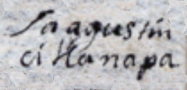
Sa agustin
citlanapa
San Agustín Cintlanapan
Stephanie Wood
1582
Jeff Haskett-Wood
maize, corn, mazorcas, hills, mountains, cerros, montañas, nombres de lugares, topónimos, pueblos, estancias, place names
cintla, cornfield, https://nahuatl.wired-humanities.org/content/cintla
apan(tli), canal, ditch, or river, https://nahuatl.wired-humanities.org/content/apantli
-apan, on or at the waters of (a locative suffix), https://nahuatl.wired-humanities.org/content/apan-0
Cerca del Río de las Mazorcas
Stephanie Wood
The source of these hieroglyphs is a manuscript and map known collectively as the “Relación de Tistla y Muchitlan,” also known as the “Descripción de la Alcaldia Mayor de las Minas de Zumpango.” Apparently, these towns (today spelled Tixtla and Mochitlan) are in the modern-day state of Guerrero, but they fell under the religious jurisdiction of the Diocese of Tlaxcala. Thanks go to Octavio Márquez for his contribution of the glyph, gloss, and contextualizing images.
The original manuscript is hosted on line as part of the Benson Latin American Collection, The General Libraries, University of Texas at Austin, https://collections.lib.utexas.edu/catalog/utblac:fbc92b3e-bb28-4258-975.... It is open-access.